

Haute Route: Chamonix to Zermatt
180km
(105 miles) of trails
10,000m
vertical ascent
2
countries
The Haute Route : Overview
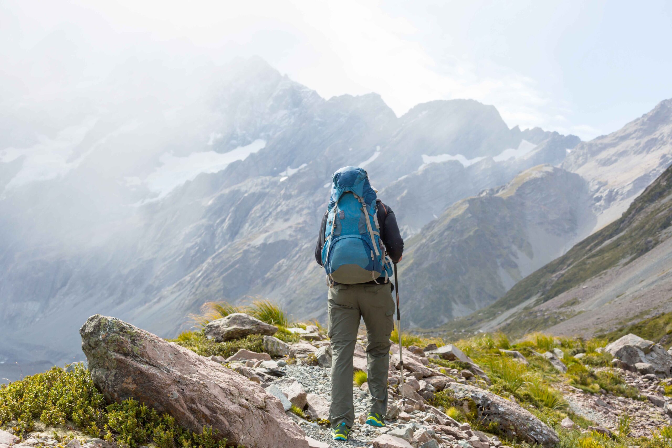
The Haute Route is the ultimate challenge for any serious hiker. It is characterised by rugged terrain, long ascents, and “exposed” trails. Hiking from Chamonix to Zermatt, you’ll cover around 15 – 20km (12 miles) per day, with around 1,100m of climbing. The highest point is 2,987m (9,799ft), and it usually takes 10 days to complete.
A Quick History of the Haute Route
It’s always nice to know about a route’s history before setting off! Knowing who came up with the ideas and how the first people accomplished the itineraries… this puts things into perspective and adds to the overall experience of doing it today.
- The Mountaineers (1860s): The grand concept of linking Chamonix and Zermatt was dreamt up by members of the British Alpine Club during the “Golden Age of Alpinism.” In 1861, a group of Victorian gentlemen, alongside legendary local guides, successfully forged the first summer route. They dubbed it the “High Level Route”.
- The Skiers (1903): A doctor from Chamonix plus three local guides completed the entire link on skis. This happened in January 1903. They did it on two-metre-long wooden skis with leather strap bindings and soft leather boots. For anyone used to skiing today, on modern skis and hard, plastic boots, this seems mad!
- The Hikers (Later 20th Century): As hut infrastructure grew, mountain guides mapped out a clever network of lower-altitude paths. This allowed strong hikers to complete the journey without needing specialist climbing gear.
Walker’s Haute Route vs Skier’s Haute Route
You may also hear the hiking itinerary referred to as the Walker’s Haute Route. This helps distinguish it from the famous ski-mountaineering Haute Route, which takes a higher, more technical route across glaciers. This is typically undertaken in spring, when snow conditions are suitable. The ski route is a serious undertaking for experienced ski mountaineers, while the Walker’s Haute Route follows a non-glacial hiking route from Chamonix to Zermatt. Our own Grant, co-owner of Happy Tracks, completed the skier’s route in just over 24 hours in April 2026!
While they share the same start and end points, they are completely different beasts underfoot:
- The Skier’s Haute Route: A high-altitude, direct line that stays mostly above 3,000 metres. It requires glacier travel, ropes, crampons, and ice axes (or ski-touring setups in winter). Skiers normally take 6 – 7 days to complete the route.
- The Walker’s Haute Route: Technical hiking trails that carefully skirt around the edge of the high glaciers. The route stays just below the 3,000-metre mark, which leans the trails are often rocky and the temperature is often cool.
Weather and trail conditions on Haute Route
Because the Haute Route crosses several high mountain passes, its hiking season is shorter than that of many lower-altitude long-distance routes. Snow can linger on the higher sections , while mountain huts and other infrastructure close as autumn approaches. The Valais tourism board describes the route as a challenging trek even for experienced hikers. This is due to the long days, high passes and technical terrain.
When to hike and what to expect?
Some years the snow melts faster than others, so conditions can vary considerably. The main hiking season is generally mid-July to mid-September, although the exact window depends on snow conditions. Attempting the route outside the main season is discouraged because of lingering snow, difficult trail conditions and closed mountain infrastructure.
Mid-July to August: Peak Season on the Haute Route
This is the most popular time to tackle the Haute Route, offering the safest and most reliable trail conditions.
- The Trails: Higher passes are generally clear of winter snow by mid-July.
- The Perks: All Swiss Alpine Club (SAC) huts, mountain refuges, and valley transport links (gondolas and buses) are fully operational. Alpine wildflowers are at their absolute peak in July.
- The Catch: Space in the huts is limited, meaning you need to book accommodation months in advance.
September on the Haute Route
If you prefer crisp mountain air, early to mid-September is a spectacular time to go.
- The Trails: The route is completely snow-free, and the summer crowds clear out dramatically.
- The Perks: The weather is more stable, with less rainfall and fewer afternoon storms. The larches begin turning golden by mid-month.
- The Catch: Temperatures drop noticeably, and sub-zero nights are common at hut elevation. Crucially, many mountain huts and high-altitude cable cars close by mid-September. This means your logistics require precise planning, and there are fewer “bail-out” options.
Weather patterns on the Haute Route
Summer Temperatures: In July and August, valley temperatures average a pleasant 20∘C to 25∘C, but during heat waves it’s not uncommon to get temperatures above 30∘C. Expect a significant drop as you gain altitude; high passes usually sit between 5∘C and 18∘C during the day.
The afternoon thunderstorm risk: Hot summer days regularly trigger convective heat build-ups, leading to sudden, violent afternoon thunderstorms. Standard practice on the Haute Route is to start hiking at dawn to cross the high cols before 2:00 PM.
Unseasonal snow: It is not uncommon to experience a sudden cold snap that dumps a few inches of fresh summer snow on the exposed ridges in July or August. It usually melts within 24 to 48 hours but demands solid layering.
This means that you need to pack for a big range of temperatures. Check out our Alpine trekking packing list or watch a little video by our team in Chamonix.
The Haute route: a day-by-day description
Day 1 Your journey begins
Argentiere > Trient
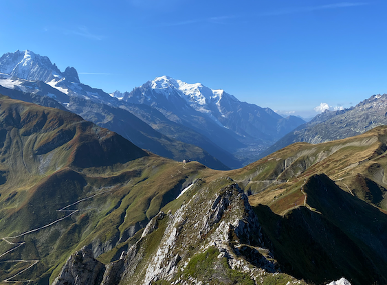
This first day is not too demanding, so it’s a nice way to ease into your tour. After taking a bus from Chamonix (20mins), a steep forest trail will lead you up to Aiguillette des Posettes. Enjoy panoramic views of Emosson Dam and Mont Buet in one direction, and the Mont Blanc massif in the other. You’ll continue by traversing over to Col de Balme, then down to Trient. Along the way, you’ll pass the historic Refuge du Col de Balme, where you can stop for a snack, and you’ll cross into Switzerland.
This day covers 15km, with around 1,030m of height gain.
Day 2 Through The Window
Trient > Champex Lac
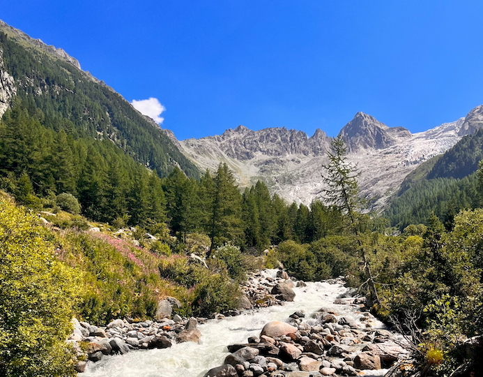
After a few easy kilometres, the terrain becomes more technical. Trees give way to rock, and you’ll start a long climb up glacial moraine to a notch in the cliffs. This high mountain pass is called “Fenêtre d’Arpette” (the Arpette Window), and looking down the other side is like looking through a window onto a whole new view : the mass of scree gives way to the beautiful, lush Arpette valley. Navigate your way through the boulder field below. Finish by strolling down meadows and forest to Champex.
This day covers 15km, with around 1,400m of height gain.
Day 3 across The Desert
Verbier > Cabane Prafleuri
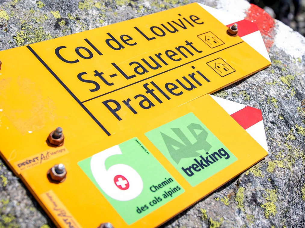
A short ride in a taxi and then a cable car will bring you back to the high mountains. Traverse below Mont Fort, then drop down into a rocky valley. With the help of your guide, you’ll pick your way through a large boulder field, and cross two passes. From the second pass you’ll descend to the Grand Désert – a vast, barren plateau carved out by a retreating glacier. One final climb will lead you to the third pass of the day, from where you’ll see Cabane Prafleuri. Look out for ibex at the cabane, as they often graze nearby.
This day covers 17km, with around 1,070m of height gain.
Day 4 Up The Wall
Cabane Prafleuri > Arolla
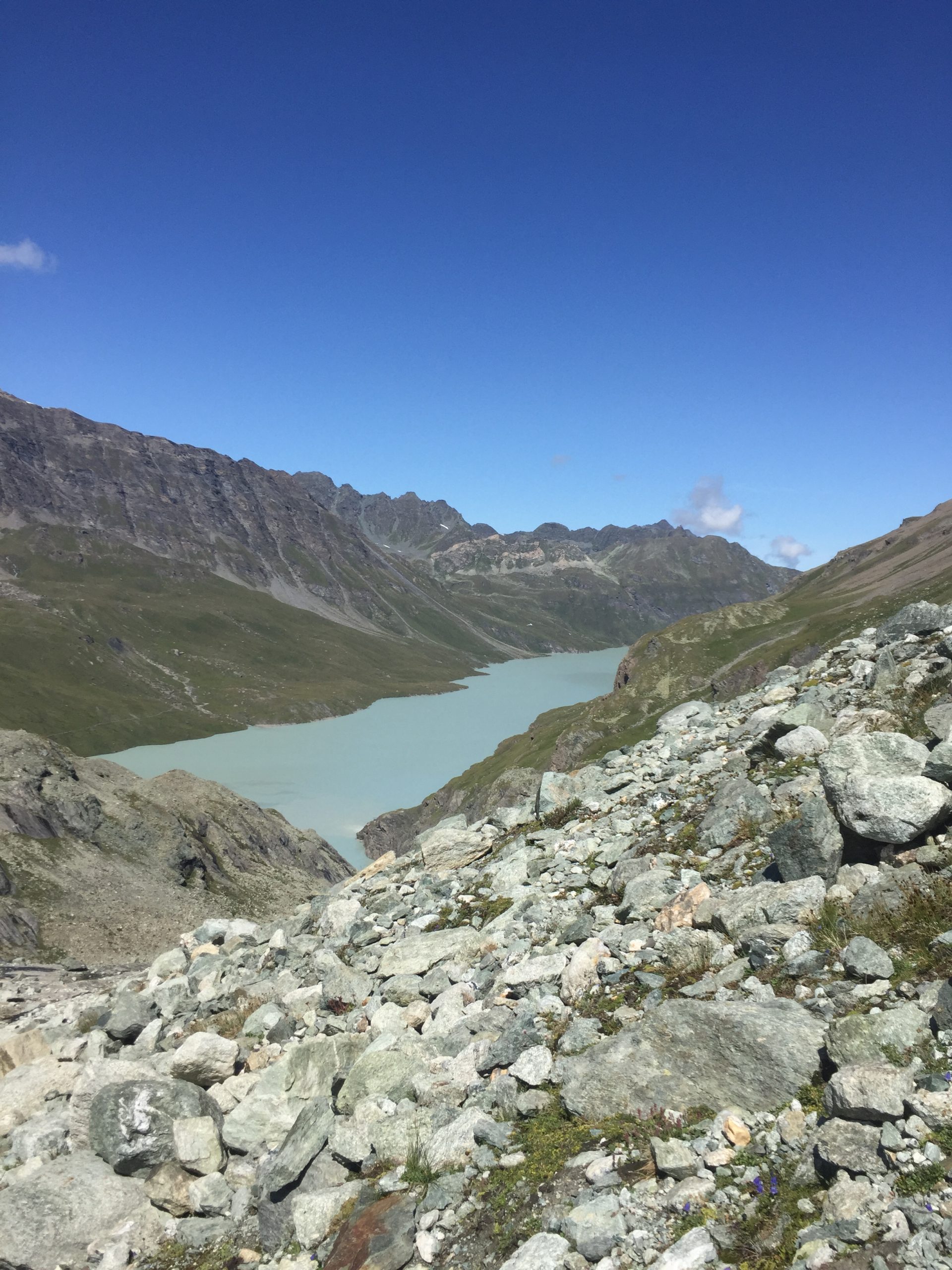
After a chilly climb, you’ll reach the morning sun and a fantastic view of the Dixence dam. Descend to the dam, then follow a flat path along the water’s edge. Soon you’ll climb up to a wide valley. Notice the strange glacial silt and the huge boulders; these were left by a retreating glacier. You’ll now head towards an impressive, almost vertical band of rock. To reach the other side, you’ll either hike up a steep, rocky slope, or climb a series of metal ladders. From the top, easy trails lead down to Arolla.
This day covers 18km, with around 800m of height gain.
Day 5 Past Tranquil Waters

Arolla > Les Hauderes
This is an easy day, so you can take your time and set off later than normal. You’ll climb to the upper limits of the forest, then traverse an open slope with fantastic mountain views. This gentle, undulating trail leads to Lac Bleu, a tranquil lake with strikingly blue water. The colour is caused by the thick glacial clay that lines the lake bed. Stop for a snack at the lakeside cafe, then continue down light forest and fragrant meadows to the village of Les Hauderes.
This day covers 10km, with around 200m of height gain.
Day 6 beneath giants
La Sage > Zinal
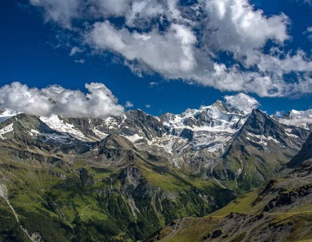
Although today’s trails are never technical, be prepared; the climbs can feel relentless! Start by taxing a short taxi ride to La Villaz then hiking up pastoral land to Col de Torrent, which boasts one of the best views of the Haute Route. From there, descend gently to Lac de Moiry and cross it via a large footbridge. Hike up through fragrant meadows to Col de Sorebois. Now you’ll to see the famous Weisshorn, along with several other 4000m peaks. Finish by descending to the ski resort, then taking a cable car down to Zinal. Alternatively, continue on foot down steep forest tracks.
This day covers 19km, with around 1,750m of height gain.
Day 7 where time stands still
Zinal > Gruben
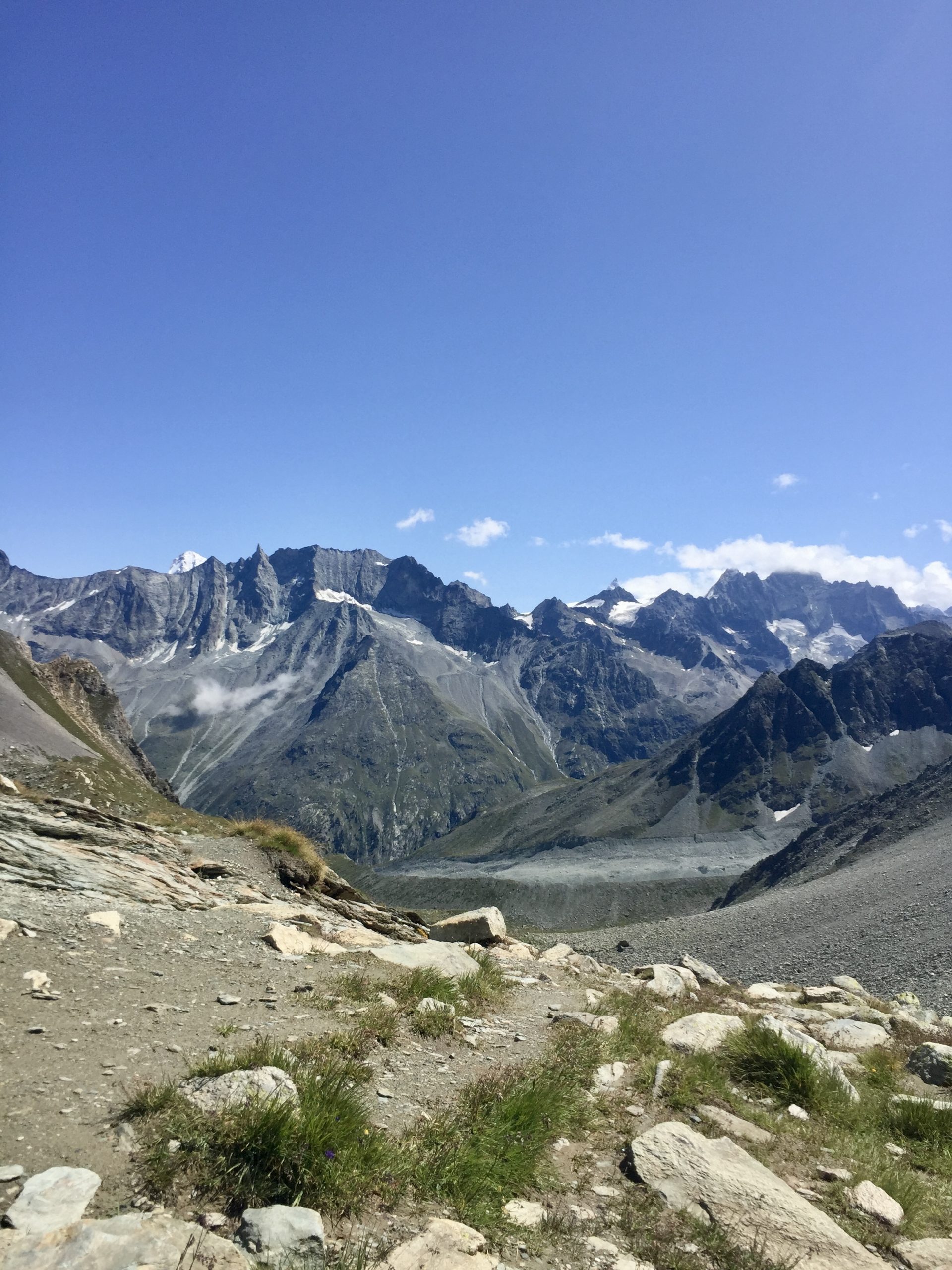
Despite the amount of height gain, this is a gentle day on easy trails. A rising traverse brings you to Col de la Forcletta, where you’ll drop into the Blüomatttälli and Turtmanntal valleys. “Blüomatttälli” comes from the old German word for “flower meadow”, and this valley is often full of unique alpine flowers. Look carefully in the rock crevices, or ask your guide to point them out. There’s very little development in the area, and the inhabitants of Gruben all leave at the end of the summer. Because of this, it feels remote and untouched by time. You will now be in the German-speaking part of Valais.
This day covers 17km, with around 1,200m of height gain.
Day 8 into the valley
Gruben > St. Niklaus
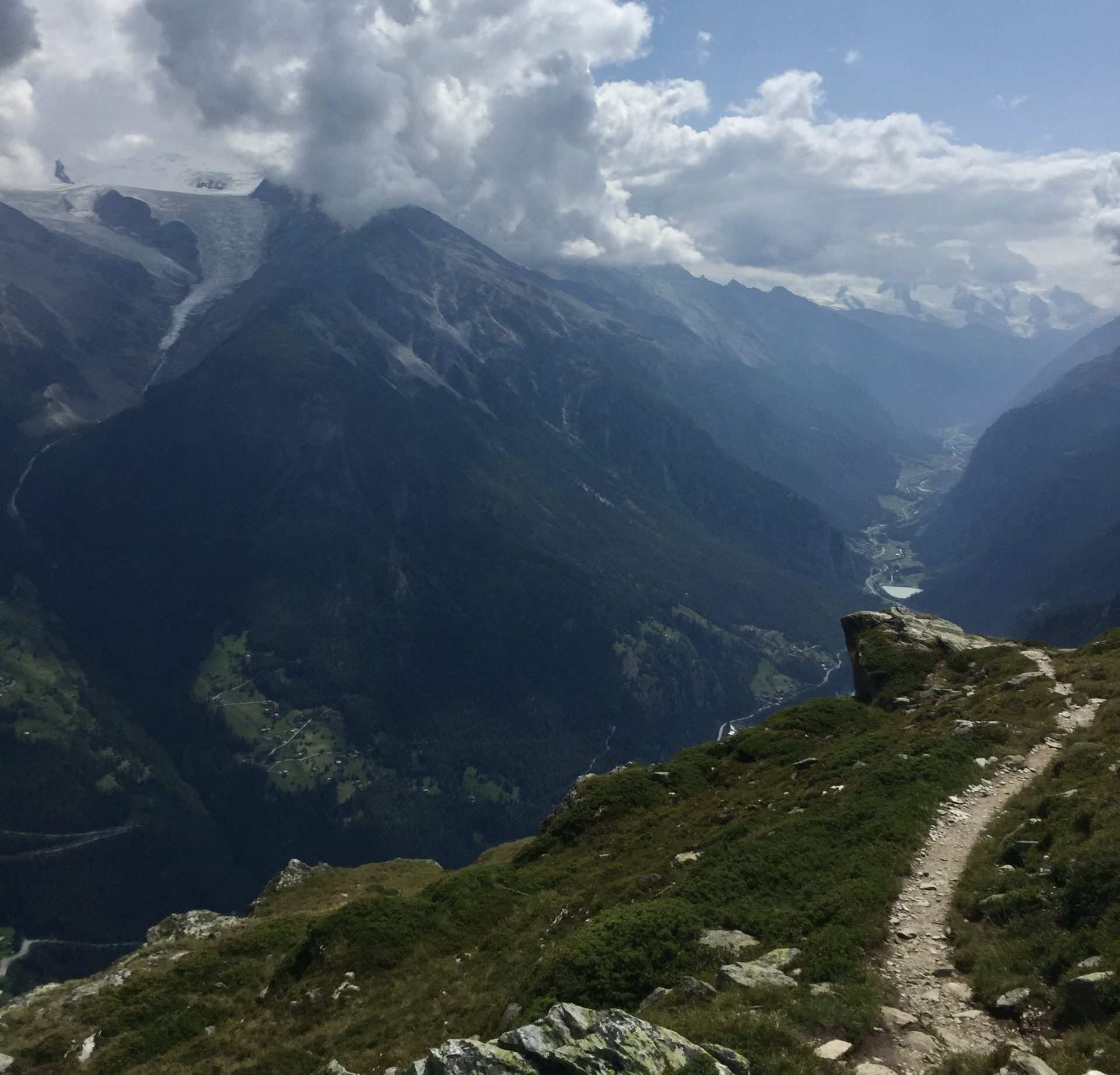
Start by hiking up towards the historic Augstbordpass, which was used by the Romans as a trading route. You’ll cross a wide marshy area and then a boulder field before climbing up a series of steep switchbacks. From the pass, you’ll cross another boulder field before joining an exposed, undulating trail. Follow this as it contours high above the Matterhorn valley, which is flanked on either side by towering 4000 metre peaks. This rolling view is arguably the best view of the Haute Route. Eventually the narrow trail widens and you’ll descend through meadows to a cable car.
This day covers 16km, with around 1,300m of height gain.
Day 9 Along the balcony
St. Niklaus > Europahütte
The Haute Route used to continue on from Gasenreid, but this trail is now closed due to rockfall. To avoid this dangerous section, you’ll start by following an easy trail along the valley floor to the village of Herbriggen. From there, you’ll climb up through the forest to the famous Europweg trail. At times this ascent can be quite steep, but when you finally arrive at the balcony, all the effort will seem worth it! You’ll be rewarded with a fantastic view of the Weisshorn, which you have now seen from almost every angle. Continue along this undulating, beautiful trail to the refuge.
This day covers 12km, with around 1,300m of height gain.
Day 10 The Matterhorn Is Calling!
Europahütte > Zermatt
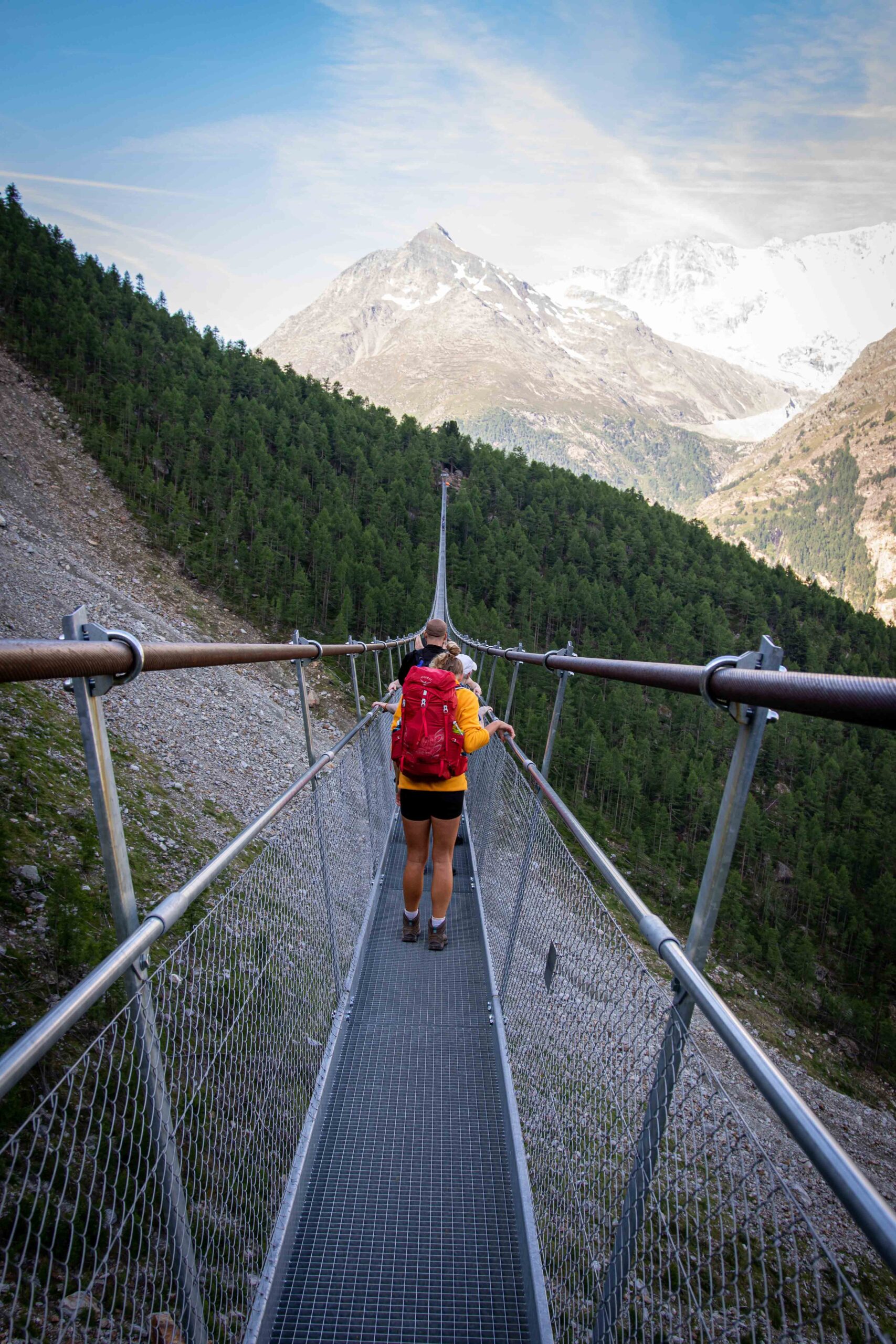
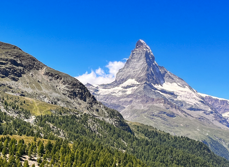
This final stage of the Haute Route follows a long and airy traverse, with several exposed sections equipped with hand lines. You’ll hike through tunnels and beneath covered galleries, and cross the world-famous Charles Kuonen suspension bridge. It is an adventurous and memorable stage, and all in the shadow of the mighty Matterhorn, which towers over Zermatt. Due to a closed trail you will descend to Tasch before completing your journey to Zermatt. Now it’s time to enjoy one last drink with your group to celebrate this memorable adventure!
This day covers 15km, with around 860m of height gain.
Hiking the haute route with Happy Tracks – FAQ
The Haute Route is suitable for very fit hikers who exercise on a regular basis. Previous trekking / multi-day hiking experience is not a must, but a huge advantage. You should be able to hike up to 1800m of ascent and 20km distance per day on rough, rugged mountainous terrain.
Prepare for the Haute Route by working on your endurance. Activities like running and cycling are good, and of course it helps to do regular long hikes. We also recommend testing your gear before you arrive. Go on practice hikes with your backack fully loaded to get a better idea of how your hike will feel.
You can download our packing list here. If you strictly follow the packing list, you’ll be prepared for every situation and your backpack won’t get too heavy. You should aim for no more than 10kg on your back. Watch our Alpine trekking packing video by our guides in Chamonix for more details.
Hiking poles are not essential but we highly recommend using them. Poles encourage good posture, which prevents injuries and accidents. They also spread your weight, which takes the pressure off your knees and makes hiking up and down hills feel easier. We know that traveling (especially by airplane) can be tricky with hiking poles, which is why we offer a pole rental service.
We recommend doing the Haute Route in a lightweight pair of hiking boots. Your boots should : cover your ankles; be waterproof (i.e. made from Gore-Tex or leather); and they should have a good, deep tread. This is because the Haute Route follows technical trails across rocky, alpine terrain, and you might have to cross patches of snow. Technical hiking boots that cover your ankles will help prevent accidents and injuries.
A typical mountain breakfast consists of bread, jam, fresh fruit, tea and coffee. We’ll give you a fresh lunch pack each day, consisting of one large item (e.g. a sandwich), plus several healthy snacks. You’ll also pass lots of mountain refuges where you can stop and buy homemade snacks or plates of warm food. In the evenings, you’ll normally be offered a set three-course meal. A typical evening meal would be vegetable soup to start, followed by a large main course (e.g. chicken, vegetables and rice), and a dessert to finish.
Some nights you’ll stay in small mountain villages and towns, where you’ll be able to access free WiFi. The WiFi is often quite slow, but it’s enough to send some photos and messages. You’ll also spend some nights in remote mountain refuges, where there is no WiFi and mobile phone coverage might be very poor.
All of the places you stay overnight have dedicated outlets for guests to use, so you will be able to charge your devices. Make sure to bring the correct adaptors – you will need an EU plug for France and a CH plug for Switzerland. The standard bi-pol plugs (used for smartphone chargers) often work in both countries.
France uses Euros (EUR), and Switzerland uses Swiss Francs (CHF). You can withdraw cash in the bigger towns, but the smaller villages do not have cash points. Most shops and restaurants accept card payments, but it’s a good idea to always have some cash on you. When hiking, you’ll pass a number of mountain refuges where you can stop for snacks, but they often do not accept card payment.
If you feel unable to hike a particular day we’ll help you to find a solution, but it will be your responsibility to cover any additional costs. If you’d like to just “skip” one day, you’ll normally be able to reach the next destination by using public or private transport. Likewise, if you choose to end your tour early, we can help you get back to your start point, but it will be your responsibility to cover the costs.
The mobile phone coverage is very limited on the Haute Route, so you won’t have signal for most of the time that you’re hiking. In the villages where you’ll stay overnight, the coverage is generally good. As you’ll be traveling through Switzerland, we recommend checking the roaming agreement with your provider, as it can be costly to use mobile data outside your country.
The Haute Route crosses remote mountain passes and follows technical trails. Because of this, the objective dangers should be taken seriously, and we recommend that you buy insurance before you set off (travel, medical and mountain insurance). In Switzerland, mountain rescue can be extremely expensive. It is your responsibility to cover the costs, but we can help you prepare by answering questions and giving advice – just get in touch!
The hikers Newsletter
Get trekking info and our latest deals.
