

The Haute-Giffre Traverse- 5 Days with Floor Denil


This trek was available for the 2026 summer. Check out our Alpine treks for the summer 2027 here.
890€
Why Book With Us?
- Secure With a 20% Deposit Today!
- Final Payment 12 Weeks Before Departure
- All Dates Guaranteed to Run
- Fun and Friendly Groups
Any questions? We're here, just send us a message and we'll get you booked on your chosen hike!
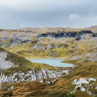
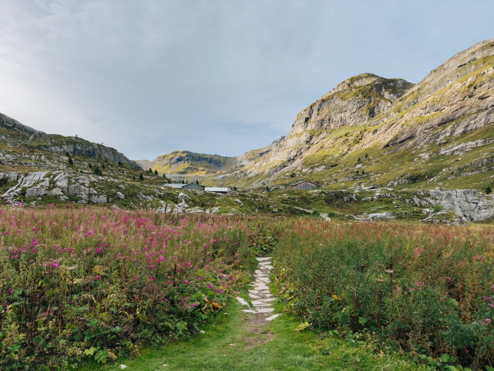
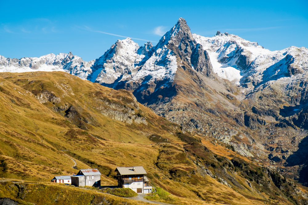
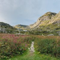
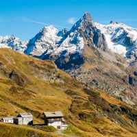
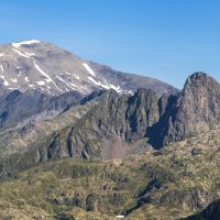
Tucked away between the deep valleys of the Haut-Giffre and the high alpine ridgelines bordering the Mont Blanc massif, this traverse is a quietly spectacular journey through one of the Alps’ most unspoilt corners. Over several days, we’ll follow remote mountain paths toward Vallorcine, threading our way beneath vast limestone walls, across open plateaus, and through wild terrain where silence, space, and big skies dominate. Despite its proximity to the Mont Blanc range, the Haut-Giffre mountains remain wonderfully under the radar: rugged, raw, and refreshingly free from crowds. If conditions allow, we’ll aim to summit Mont Buet (3096 m), one of the great panoramic viewpoints of the region. From its broad summit, the horizon opens wide onto the Mont Blanc massif and far beyond.
This trek is designed for hikers with some mountain experience who are looking for a rewarding alpine journey in remote terrain. While the paths are non-technical, the route includes several big days with significant elevation gain, requiring good fitness and comfort in the mountains. In exchange, you’ll enjoy quiet trails, wide-open landscapes, and a deep immersion in wild alpine scenery, all the way to our final descent into Vallorcine.
Hike start and end point
Start
Sallanches, train station (https://share.google/VFCyeG2xcqP8m4D2K)
Meeting time : 09/08/2026 at 9:00am
End
Vallorcine train station (https://maps.app.goo.gl/41jh9j6wgsz2hWrz6)
Mode of transports
Train or personal vehicle until the Saint Gervais les Bains – Le Fayet train station and then train or personal vehicle to the meeting and start point.
Accommodation
Mountain huts
Meals
Full board excluding lunch on the first day
Itinerary
Loop
5 days et 4 nights
63km et 5500m of elevation gain
| Start | End | Date | Distance (km) | Elevation gain (m) | Elevation loss (m) | Effort Km | Walking time | Day 1 | Sallanches | Refuge de Véran | 09/08/2026 | 8 | 1000 | 0 | 18 | 6:00:00 | Day 2 | Refuge de Véran | Refuge de Sales | 10/08/2026 | 15 | 1500 | 1200 | 30 | 10:00:00 | Day 3 | Refuge de Sales | Refuge de Moëde Anterne | 11/08/2026 | 12 | 900 | 800 | 21 | 7:00:00 | Day 4 | Refuge de Moëde Anterne | Hotel Skiroc Le Buet | 12/08/2026 | 19 | 1450 | 2000 | 33,5 | 11:10:00 | Day 5 | Hotel Skiroc Le Buet | Vallorcine | 13/08/2026 | 9 | 690 | 775 | 15,9 | 5:18:00 |
| 63 | 5540 | 4775 | 118,4 | 39:28:00 |
| Description | Day 1 | ||||
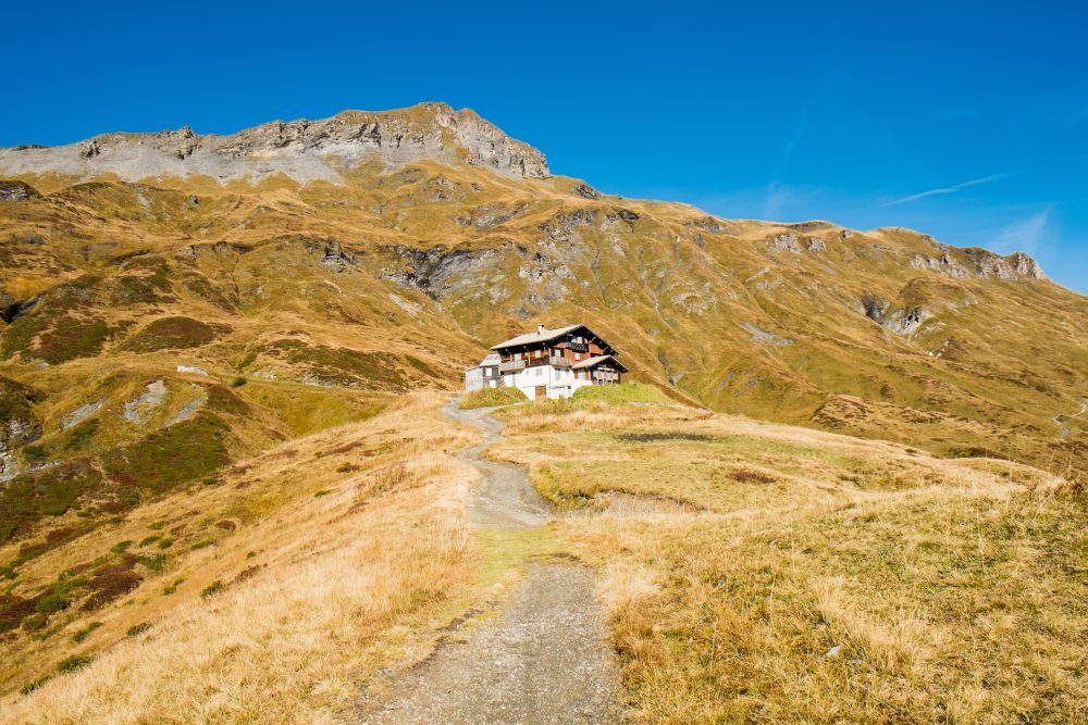
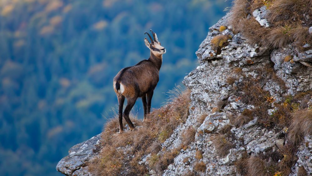
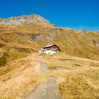
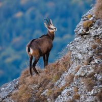
| Our first day leads us from the valley of Sallanches up to the peaceful plateau of Refuge de Véran. After a gentle kilometre leaving town, the trail climbs steadily through a quiet forest, covering most of the day’s 1,000 metres of ascent in shaded zigzags. Breaking above the treeline, we’re suddenly surrounded by the limestone walls of the Aiguilles de Varan and Tête du Collonney. Refuge de Véran awaits on a grassy shelf beneath these cliffs: small, quiet, and beautifully remote. Those with some energy left can join an optional short hike to a nearby summit with wide views and frequent ibex sightings. | |||||
| Day 2 | Day two is already a highlight of the traverse, starting with a steep climb from Véran to the summit of Tête du Coloney (2,692 m). The ascent is demanding, but the views open up quickly: deep valleys and distant ridges, with Mont Blanc on one side and Swiss peaks on the other. After a break at the top, we descend toward Refuge de Platé, set on Europe’s largest limestone plateau. A surreal, almost lunar landscape perfect for a pause. A short climb to Col de Portette follows, rewarding us with another sweeping viewpoint, before a gentle descent through meadows leads to Refuge de Sales for the night. | ||||
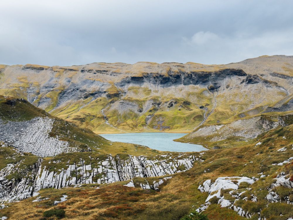
| We descend from Refuge de Sales through a wide valley with waterfalls, then tackle a few smaller climbs. Highlights include the peaceful Refuge d’Anterne Alfred Wils and the stunning Lac d’Anterne, often mirrored by the surrounding peaks. The day ends at Refuge de Moëde Anterne, a warm, welcoming spot above the valley. | |||||
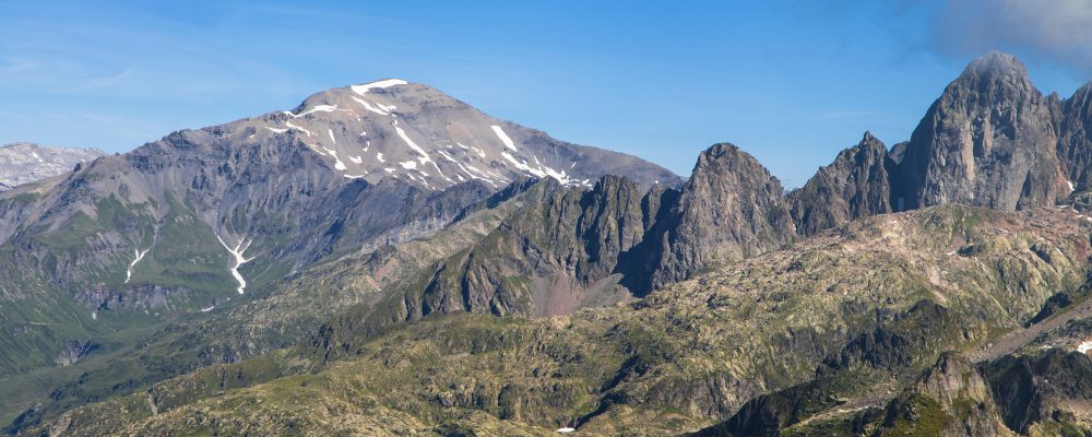
| Day 4 | Today is Mont Buet day, the highest point of the traverse ! | It will also be a big day in terms of kilometers so we might start very early. After a wild hike to Col de Salenton, our goal is in sight : Mont Buet, 3096m! Wild and rocky, this summit will for sure hit you by its beauty and the tough end of the hike with less oxygen due to the high altitude! Once there, the view might leave you speechless. However, there is still a long downhill to the Buet village. Depending on the weather conditions or ability of the group, it might be possible that we don’t go to Le Buet summit for safety reasons. | |||
| Day 5 | The last day will be an easier one. After yesterday’s big stage, we will take it chill on this last stage of our traverse. We will hike up to Refuge de la Loriaz to enjoy one more pretty view, this time on Glacier du Tour on the other side of the valley. After the lunch break, we will hike down to the village of Vallorcine, the last one before the Swiss border. From there, the train will take us back to Sallanches where it all started! And what a ride it will be, the name of the train says it all : Mont Blanc Express! | ||||
This itinerary can be adapted according to weather or mountain conditions, as well as hikers fitness. Thomas remains the only one to make decisions about the program which he can modify for safety reasons.
Level :
This tour is for experienced hikers
Some days are going to be long in terms of distance and elevation. That’s why, you should have done some day hikes or multi-day hikes before, in mountain terrain. The walking pace is normal, with a few regular breaks.
If you still have questions regarding your ability to complete this trail or the gear: reach out! We’re happy to help. You can send an email to hallo@floordenil.com, reply will come as quickly as possible.
Group size
Minimum 6 people
Maximum 10 people
Price
890€ per hiker
Includes : Guiding by Thomas Debray, mountain leader / 4 nights in a shelter with a staff in a dormitory or room / Full board from dinner on the first evening to a picnic on the last day.
Does not include : Drinks or snacks at the shelters, warm showers if/when you have to pay for it, first day lunch, personal insurance, snacks, trip to the starting point and from the ending point, personal hiking equipment rental
Provided gear
None
Gear to take
Please aim that your backpack weighs around 8kg with everything included.
Items marked with a * are optional: take them if they make you feel more comfortable or prepared.
Clothes
1 pair of hiking shoes (boots or trail runners — whichever you prefer)
1 Cap
1 Warm hat/beanie
2 Breathable long- and/or short-sleeved shirt
1 Fleece
1 down jacket
1 Waterproof jacket
1 Hiking trousers or leggings, and/or hiking shorts
1 Waterproof trousers
1 Pair of light gloves
2 Hiking socks (+ liner socks*)
1 Flip flops (for inside the huts)
Spare clothes for the evenings, depending on your preferences*
Food
2L water bottle (or two smaller ones that
add up to 2L)
Pocket Knife*
Snacks for each day (there are no resupply points on the trail)
Lunch for day 1
General gear
Backpack (40L) + rain cover
Hiking poles
Headlamp
Category 3 sunglasses
Sunscreen and lip balm
Sleeping bag liner + pillowcase
Toiletry kit (small towel, toothbrush, etc.), toilet paper, earplugs*
Minimal personal pharmacy (think blister plasters, basic meds like painkillers, allergy tablets, etc.)
ID + cash for personal expenses
Depending on conditions : microspikes (we will let you know before 1 week before)