

Alta Via 2, or AV2 is a 8-14 days trek traversing the Dolomites stunning mountain range from north to south, running parallel and never crossing the equally stunning AV1 trek. Hike through steep passes, scramble up jagged peaks and pristine alpine medows.
The Alta Via 2: a day-by-day description
Day 1 Your journey begins
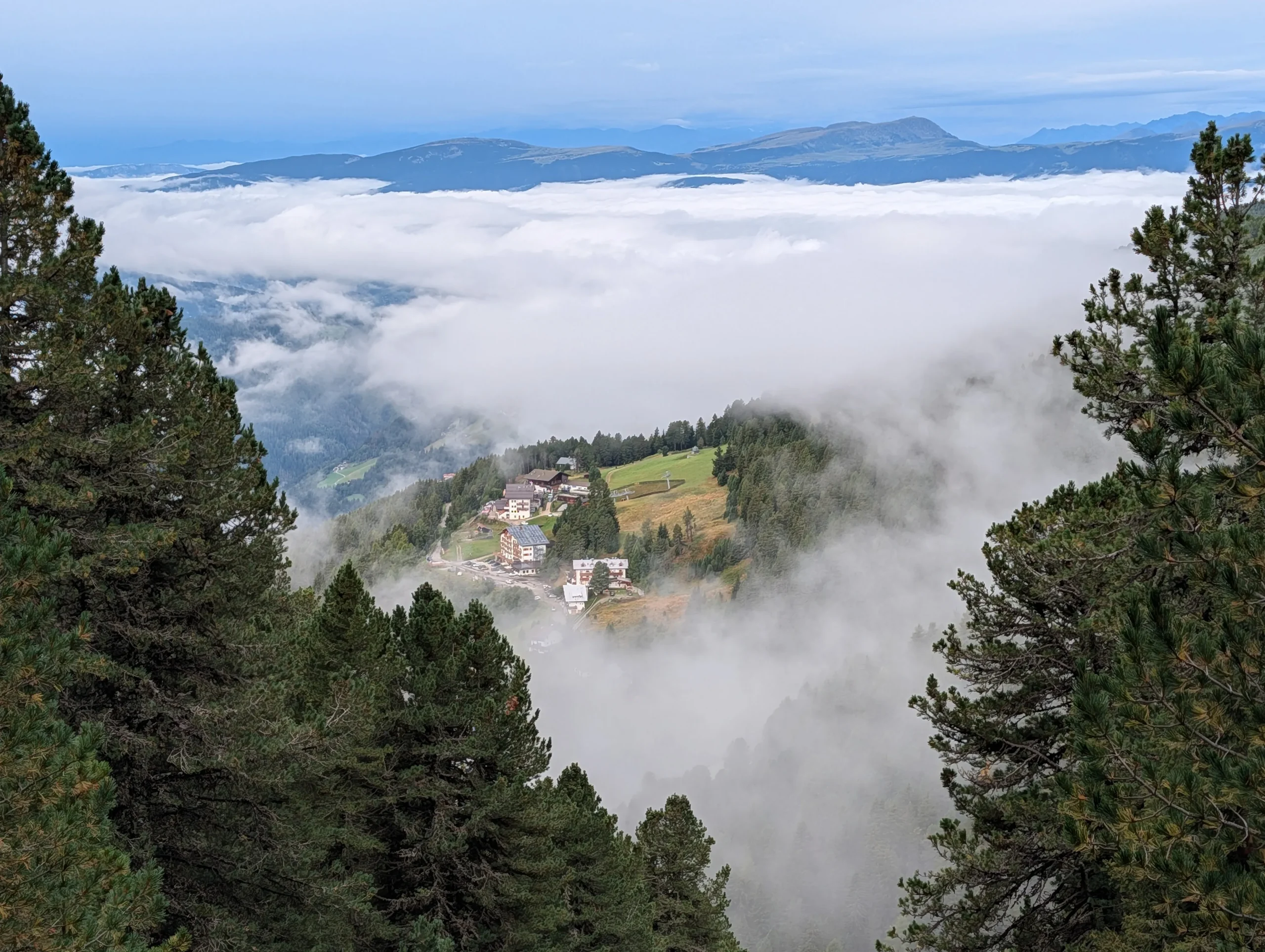
Brixen > Plosehütte
Our journey begins in the charming town of Brixen (Bressanone), the first day we ease into the trek with this afternoon hike. Arrive by train from Verona or Innsbruck (around 2 hours) and contact us for an option to store your bag in Brixen for the week. Meet your guide and the group at 12:30pm in the bus station. Together take a local bus to the Plose cable car, or all the way to Rifugio Sciare high above the valley. Today is very scenic and gentle uphill walk to Rifugio Plose, our first night in the mountains.
This day covers 5km, 600m of height gain or if we take the cable car, 2km and 400m.
Day 2 into the peaks
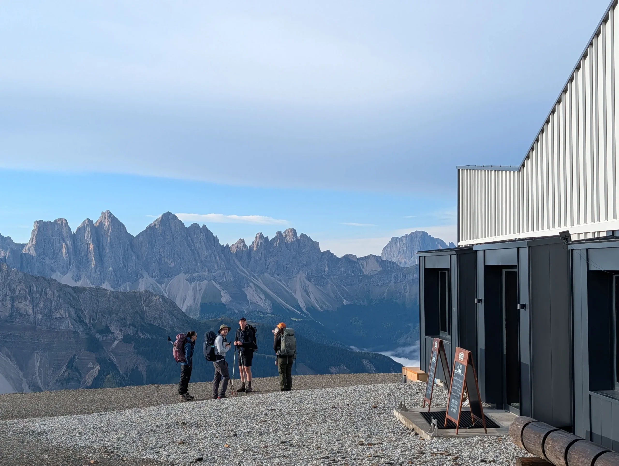
Plosehütte > Passo Poma
Starting from the stunning panoramas of Rifugio Plose down through meadows and forests to Passo Rodella, where we enter into Puez-Odle Nature Park. AV2 climbs the ancient forests and winds up the narrowing gully to Forcella della Pùtia. You are greeted with green mountains leading up to imposing dolomia peaks all around you. Here you’ll head up to climb the summit Piccolo Sas Putia, up at 2800m of altitude. Return the same way as the ascent, to Forcella della Putia from where you take path 4 on grassy alpine meadows to Rifugio Genova on Passo Poma.
17km, 1000m ascent, 1150m descent (in poor weather we skip the summit and hike total of 14km 600m up and 700m down)
Day 3 cross The jagged summits
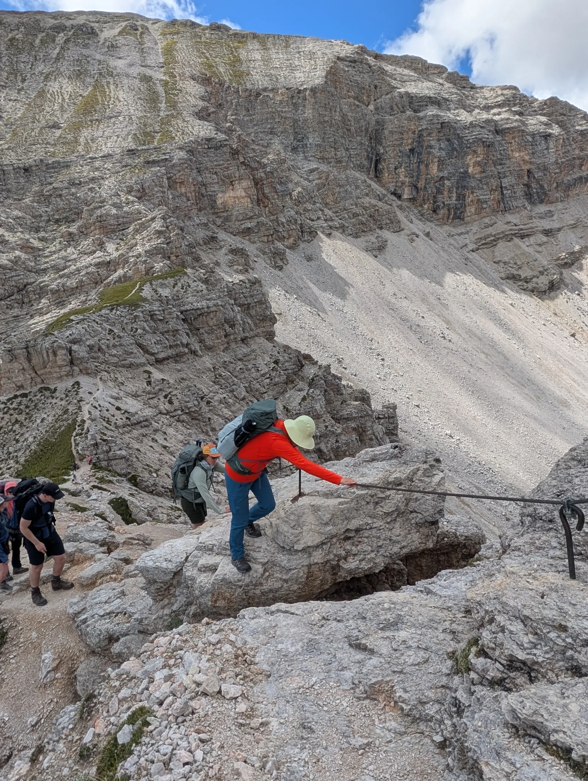
Passo Poma > Rifugio Puez
Morning hike above the clouds on the rocky massif of Puez-Odle. The AV2 trail climbs first to Forcella de Medalges and continues with a steep, rugged ascent zig zagging in the scree slope up to Forcella del Róa that lead to the stunning valley of Róa. We climb to Forcella de Siëles (2,505 m), perched above the glacier-carved green valley of Vallelunga with views of Secada rifugio. We reach the high plateau along a rocky ridge secured with sturdy cables and railings and descend to Rifugio Puez. We lighten up the backpacks at the rifugio with an option for a coffee or a cake break. Weather permitting we push up to the incredibly scenic Piz de Puez summit, at 2910m altitude as a return trip from the rifugio.
16km, 1450m ascent, 1300m descent (or if we skip the summit, hike total 12km 900m up, 700m down)
Day 4 Up The cliffs
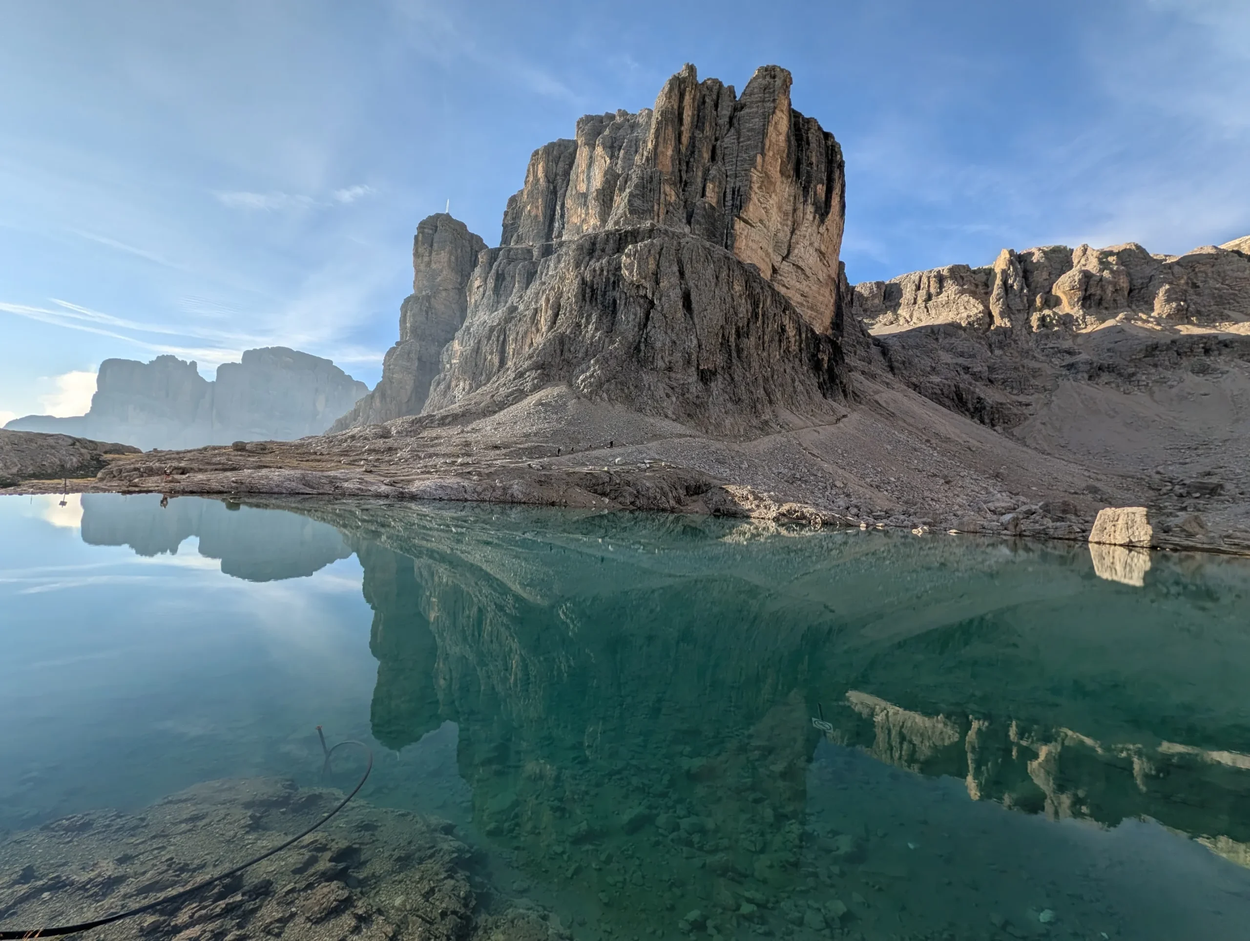
Rifugio Puez > Lago Pisciadù
The AV2 trail heads south, crossing three mountain passes through stunning dolomitic terrain until you reach Passo Gardena. After crossing the road of this extremely photogenic pass, we climb on path 666. At the base of a huge gully—marked by a service lift overhead—turn left onto path 29 and descend gently beneath towering cliffs into the wild and peaceful Valle Mesdì, a dramatic valley enclosed by massive Dolomite walls. From this magical place, climb up to reach Rifugio Pisciadù, with some short rocky scrambles along the way—each equipped with sturdy cables for support. Take great care, especially if the weather is rainy.
This day covers 13km, with around 1000m of height gain.
Day 5 High altitude plateau
Lago Pisciadù > Rifugio Marmolada
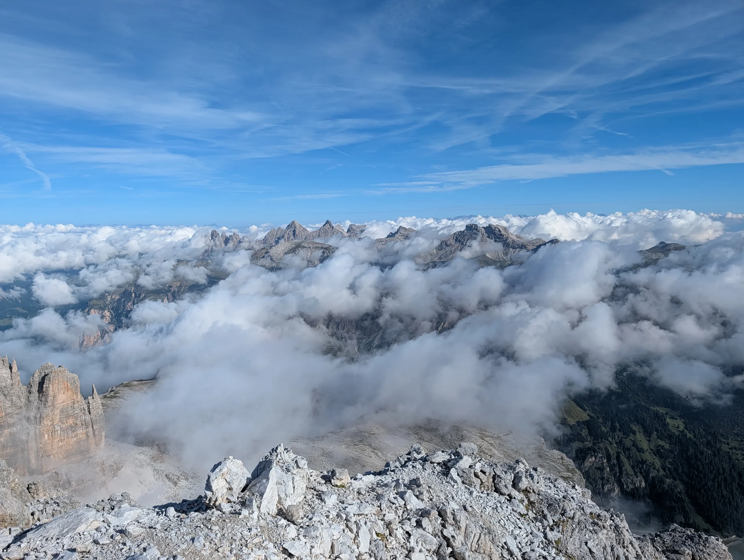
From Rifugio Pisciadù, we start with a scramble a short return trip up to Cima Pisciadù, a steep stunning summit above the clouds! The rest of the morning we climb the vast Sella Plateau reaching nearly 3,000 metres where the thin air and endless views remind you just how high you’ve come. The summit of Antersass and Forcella Pordoi really are incredible vantage points over the Dolomites. You’ll have the option to keep climbing to reach the Pordoi cable car station, to take the lift down or descend directly down the long scree switchbacks down to Passo Pordoi. The trail meanders south across steep alpine meadows, following the scenic “Via del Pane.” We enjoy epic views of the glaciated north face of Marmolada, the Queen of Dolomites which is the tallest summit of the Dolomites. At the Rifugio Marmolada we’ll be rewarded with a good warm shower and the option to do laundry at our first roadside hut since the start.
18km, 950m up, 1500m down (or 900m down with Pordoi lift)
Day 6 the Queen of Dolomites
Rifugio Marmolada > Val Ombreta
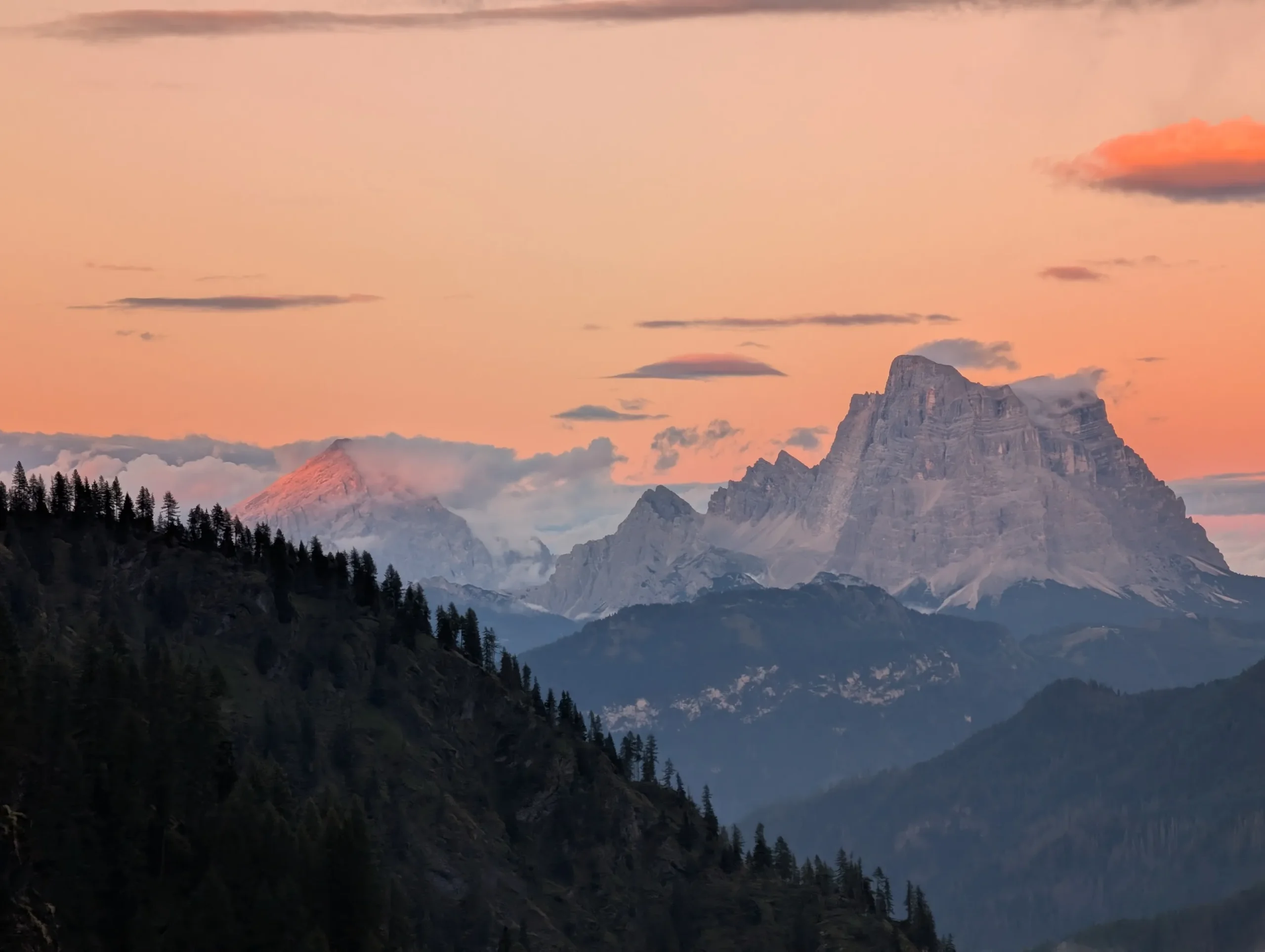
The day has two options. If the weather is good, we can head directly down to Malca Ciapela if everyone chooses to take a cable car ride up to Punta Rocca, one of Marmolada’s summits, visiting the WWI museum at the mid-station. Alternatively we hike high up above the Fedaia lake to Passo Padon, from where we descend along the green ridge trail and finally some ski slopes down to Malga Ciapela.
In the afternoon, we hike west through lush alpine woods to Rifugio Falier, perched high in the wild Ombreta Valley beneath the massive vertical south face of Marmolada. Towering cliffs and peaceful forests surround this remote hut.
This day covers 19km, with around 1200m of ascent and descent (or weather depending, 14 km with 750 m of climbing)
Day 7 Over WW1 frontier
Val Ombreta > Rifugio Fuciade
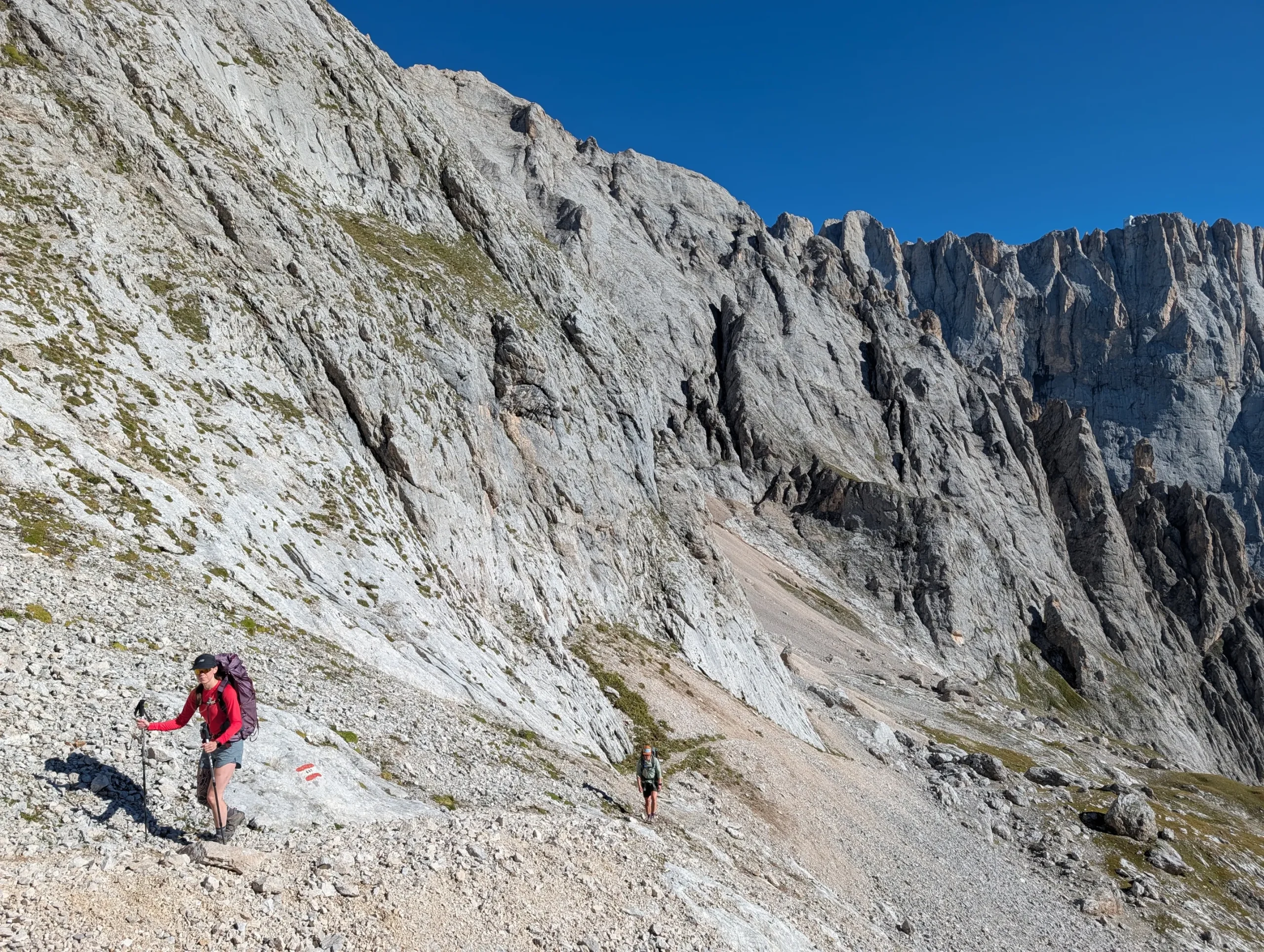
Another stunning day in the high mountain, we hike steep switchbacks up to rugged Passo Ombertola and it’s war time shelter in the rock, visiting the summit Ombertola without backpacks. We then traverse the high mountain plateau along the scree slopes, still littered with WW1 rubble to Passo delle Cirelle. The AV2 trail then descends steep scree slopes and rocky switchbacks to Val dei Meda. Here we turn uphilld for a final set of switchbacks towards Furcella Saline and stop to admire the views of the summits all around us. Final descent on grassy meadows to delightful Rifugio Fuciade just as the majority of the crowds vacate these green meadows only for us.
This day covers 12km, with around 1,100m of height gain.
Day 8 Valleys and summits
Rifugio Fuciade > Passo Rolle
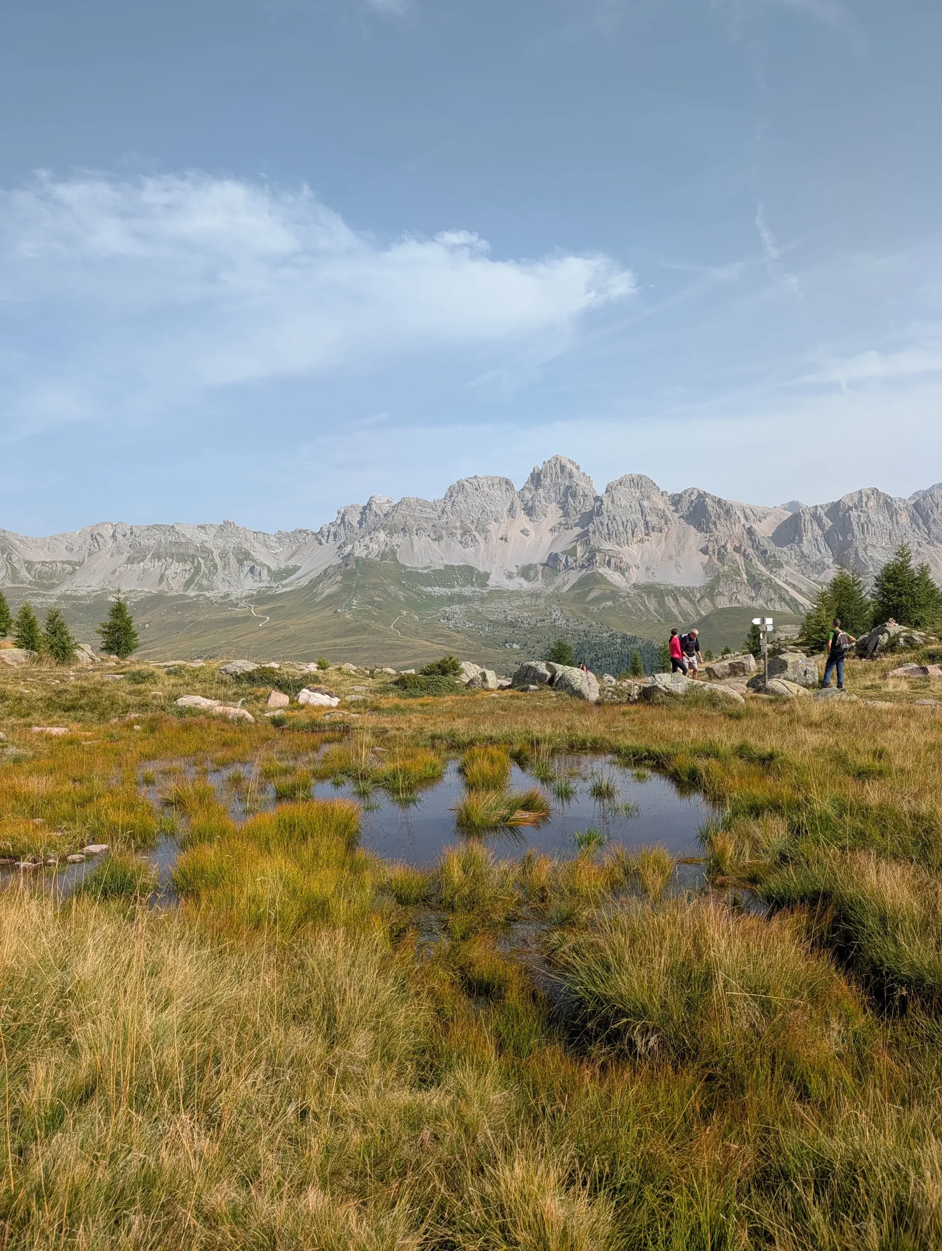
Starting with a gentle descent to Passo San Pellegrino, from where we begin the climb to Forcella Predazzo along well marked trails. This is a scenic section passing through forest, marshes, rock slabs and ski slopes. We cross a road again at Passo Valles and climb steep switchbacks to Forcella di Venegia with another amazing mountain panorama over the Pale di San Martino massif. The final section of our trail deviates from the AV2 path to hike through Campigol della Vezzana valley along a beautiful trail and a rugged alpine road to the tiny alpine lake Segantini, just above Passo Rolle. This is a gentler final day that offers a relaxed hiking with more time to admire the jaw dropping views of the Dolomites. On completion of the trek, we catch a transfer minibus for a 2h drive back up to Brixen.
This day covers 20km, with around 850m of height gain and descent.
Day 9 End of trek
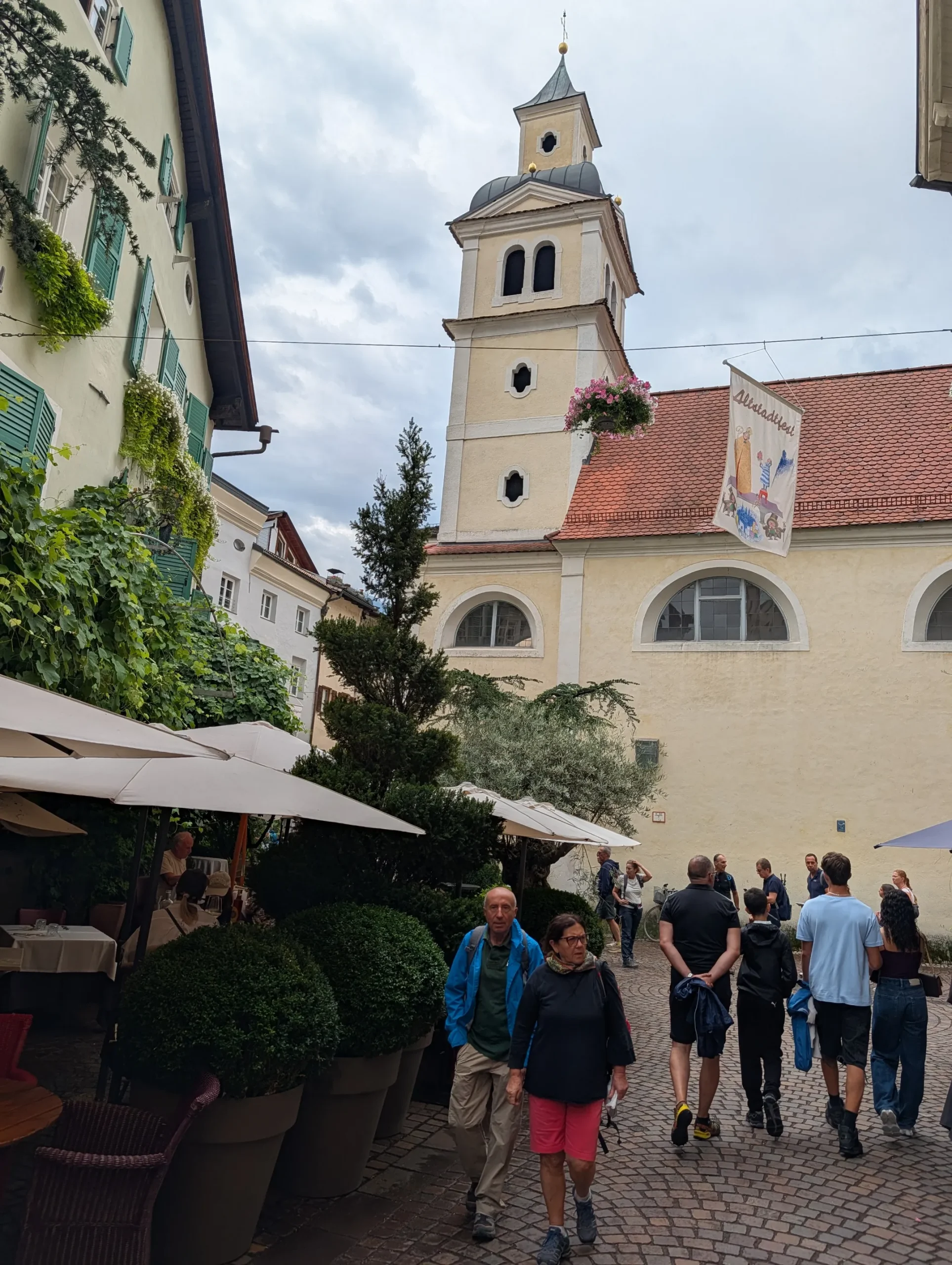
Brixen morning good bye!
You can arrange your onward travel from Brixen
End of the trip.
The hikers Newsletter
Get trekking info and our latest deals.
